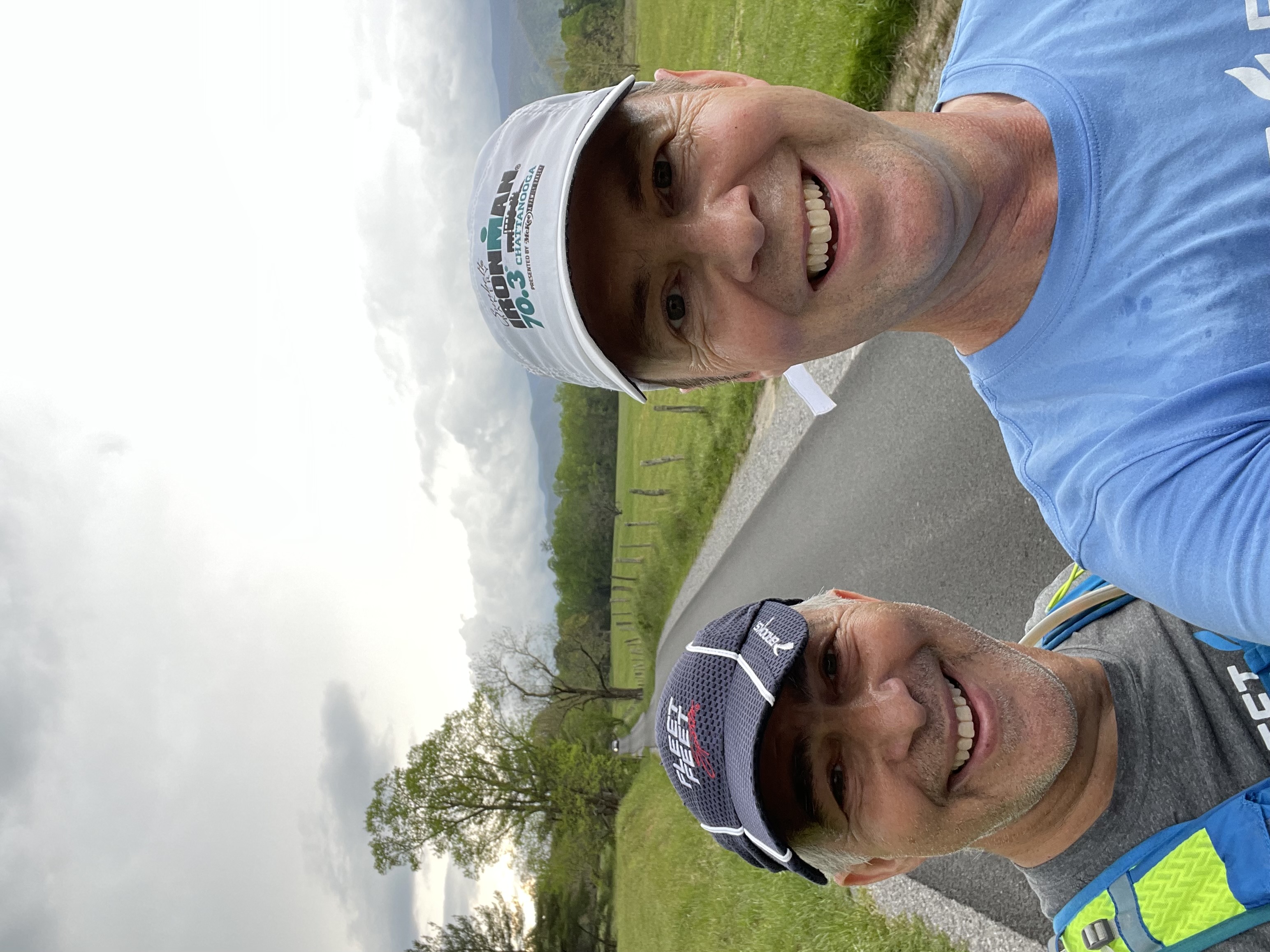

We are back! Join us for a run/walk in beautiful Cades Cove! There will be a 4, 8, or 11 mile run/walk option for all levels. Stay after the run to carbo reload with our famous pancakes and enjoy the nature.
Next Social
When: Sunday, 10/9 - 7:45 am (view sunrise times in Cades Cove)
Meet at: Cades Cove Picnic Area (click on the link for driving directions)
Note that cell coverage is almost non-existent in the park. Use the meeting location to get your driving direction.
Details:
- Join us at the picnic area
- there are nearby bathrooms that can also be used for changing (from bike to run or into dry clothes)
- We split into pacing groups and start as soon as we can
- We usually run against traffic
- We head out to enjoy the Cades Cove loop, no matter what the distance
- We return back to the picnic area
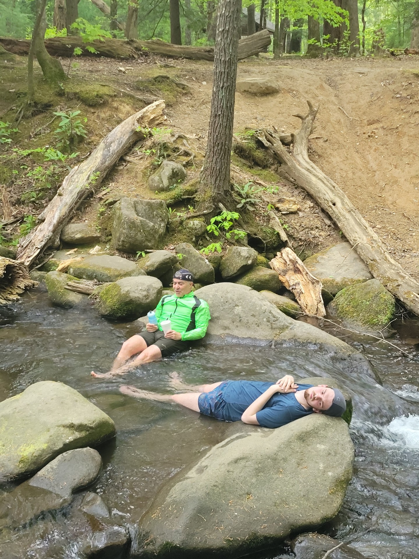
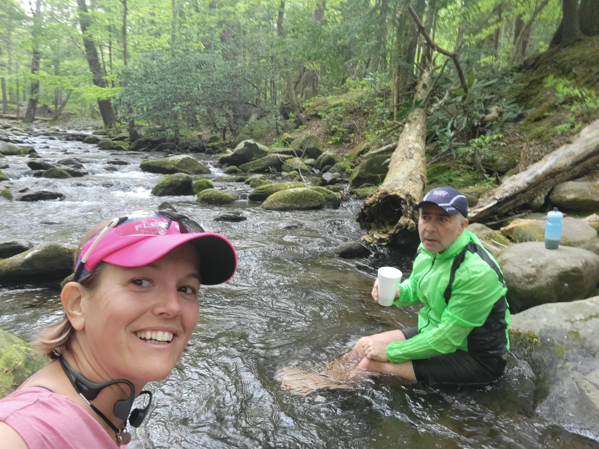
- Some of us will soak in the cool water of the creek
- But all of us will chow down on hot pancakes and coffee
- And if you brought something to share, we will try that as well
- Some us will bike to the picnic area (2 starting locations)
- Some of us will bike back to our starting locations
- and finally, all of us will cherish another golden day in the Smokies
So don't wait. Add this outing to your calendar and come out to enjoy this beautiful National Park.
Running Routes in Cades Cove
These are the normal routes that we use. There are more options, including trails that I will add to the bottom of this page
- 4 mile loop - start from the Picnic Area towards Country Store. Get on Cades Cove loop for 2 miles before taking the gravel road on the right. About 1 mile, you will come back to the Cades Cove loop (paved). There is a creek crossing that may be a wet crossing if high water. 1 mile back to the Picnic Area mostly on the loop until you get to the Picnic Area entrance.
- 8 mile loop - start from the Picnic Area towards Country Store. Get on Cades Cove loop for almost 4 miles before taking the gravel road on the right. About 1 mile, you will come back to the Cades Cove loop (paved). There are 3 more miles back to the Picnic Area mostly on the loop until you get to the Picnic Area entrance.
- 11 mile loop - start from the Picnic Area towards Country Store. Get on Cades Cove loop for almost 6 miles before taking the right right before the parking area (bathroom and water access). There are 6 more miles back to the Picnic Area mostly on the loop until you get to the Picnic Area entrance.
Optional Bike ride to Cades Cove:
Some of our FFK Cycling Peeps plan on riding to Cades Cove. Join them and make this social outing even more epic.
Two start locations:
- Coulter Bridget to Cades Cove Picnic Area - 22 miles
- Start location: Coulter Bridge near Heritage HS. Click here to for Google Map location.
- Route: Click Here for the Garmin route. Ride along quiet River Rd until you reach 321. Ride 321 past Townsend. At the Wye, turn right and make the climb to Cades cove.
- Start: 5:30 am (to ensure you make it for the 7 am run start)
- Townsend to Cades Cove Picnic Area - 14 miles
- Start location: Parking Lot near Townsend/Sunshine Covered Bridge. Click here to for Google Map location.
- Route: Click Here for the Garmin route. Ride along quiet River Rd until you reach 321. Ride 321 past Townsend. At the Wye, turn right and make the climb to Cades cove.
- Start: 6:00 am (to ensure you make it for the 7 am run start)
Alternate Running Routes in Cades Cove
In addition to the regular routes, we have explored other routes in the park that I know you will enjoy:
- 17 mile route - 11 mile loop + out/back trail to Abrams Fall - this is a combination road-trail that adds the scenic out/back trail to Abrams Fall to the full Cades Cove loop. The trail surface is hard packed but has some undulations making it a challenging addition to the already difficult 11 mile Cades Cove loop.
- 9 mile Rich Mountain trail loop - This historic loop showcases one of the homesteads as well as the Rich Mountain trail. Expect steady climb to reach the ridge and a similarly steady descend to return back to the low land. Trail shoes are recommended as trails are mostly rocky and challenging at times.
- 13 mile School Gap-Tremont loop - this loop starts at the Wye (across from the Parking Area) and immediately embarks on a 3 mile climb towards the School Gap trail. Near midway, you cross the Laurel Creek Rd (parking area) to head on the Bote Mountain trail. You come to Tremont area with about 2 miles to go and run along the road to Tremont (facing the traffic) for your way back to the parking area.
Weather Policy
We run rain or shine, but if the road conditions are unsafe, we may have to cancel or postpone. We will post here in the event of cancellation, but if you are unsure, check with Park Services at (865)436-1200 & follow prompts (#1 & #1) for the status of the roads leading in to Cades Cove.
RSVP for the Cades Cove Social
Latest News
Upcoming Events
Open Group Run
6:30pm - 7:30pm | Fleet Feet Knoxville, 11619 Parkside Dr, Knoxville, TN 37934
When: Every Thursday at 6:30pm Where: Starts from the store Who: All levels welcome Distance…
Learn More ›Saucony Demo Run
6:00pm - 8:30pm | Fleet Feet Knoxville, 11619 Parkside Dr, Knoxville, TN 37934
Learn More ›


Connect With Us
See the latest from Fleet Feet Knoxville